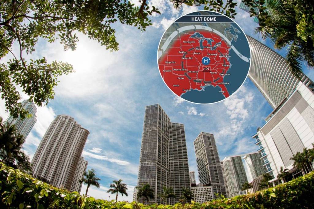

Brace yourselves, Miami. A heat dome responsible for dangerous heat indices surging into the triple digits is expected to impact Florida this week. While actual temperatures are expected to remain in the low-to-mid-90s, forecasters warn that “feels-like” temperatures could reach up to 110 degrees, creating hazardous conditions for anyone spending time outdoors.
What is a heat dome?
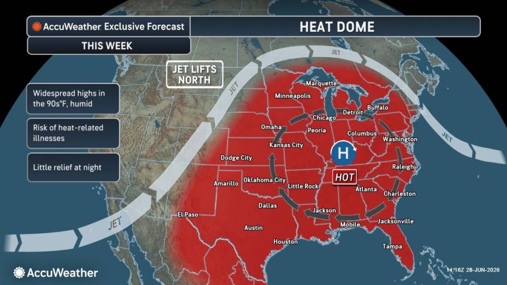
Think of a heat dome like a lid on a pot holding in steam. This slow-moving, high-pressure weather phenomenon settles over a region and traps the hot air beneath it. As the warm air attempts to rise, the high pressure forces it back down toward the surface.
“A heat dome is a sprawling area of high pressure that creates hot and humid conditions for days or weeks at a time,” explained AccuWeather expert meteorologist Dan Pydynowski in a statement. “Heat domes can prevent clouds from forming, resulting in abundant sunshine that boosts temperatures, potentially toward record levels.”
How will the heat dome affect Florida?
As the dome moves into much of the central and eastern U.S., official heat advisories are currently in effect across most of Florida. The National Weather Service offices in Miami, Tampa, Jacksonville and Melbourne state that temperatures combined with high humidity may result in indices ranging from 105 to 110 degrees.
The system is expected to linger all week and through the Fourth of July holiday weekend, with nighttime lows not offering much relief since the humidity will keep the air from cooling.
If you’ve got plans for a beach trip, family cookout or fireworks show, forecasters recommend that you drink plenty of fluids, limit strenuous outdoor activities to early morning or evening, and check up on relatives and neighbors, as well as pets. Watch for signs of heat exhaustion or heat stroke and seek medical attention instantly.
Stay safe in all this heat, and make sure to check NWS Miami for updates.